
Topographic Surveys
We deliver high-accuracy topographic surveys using advanced drone technology.
Traditional topographic surveying can be time-consuming, particularly across large, difficult, or complex sites.
Drone surveying changes that.
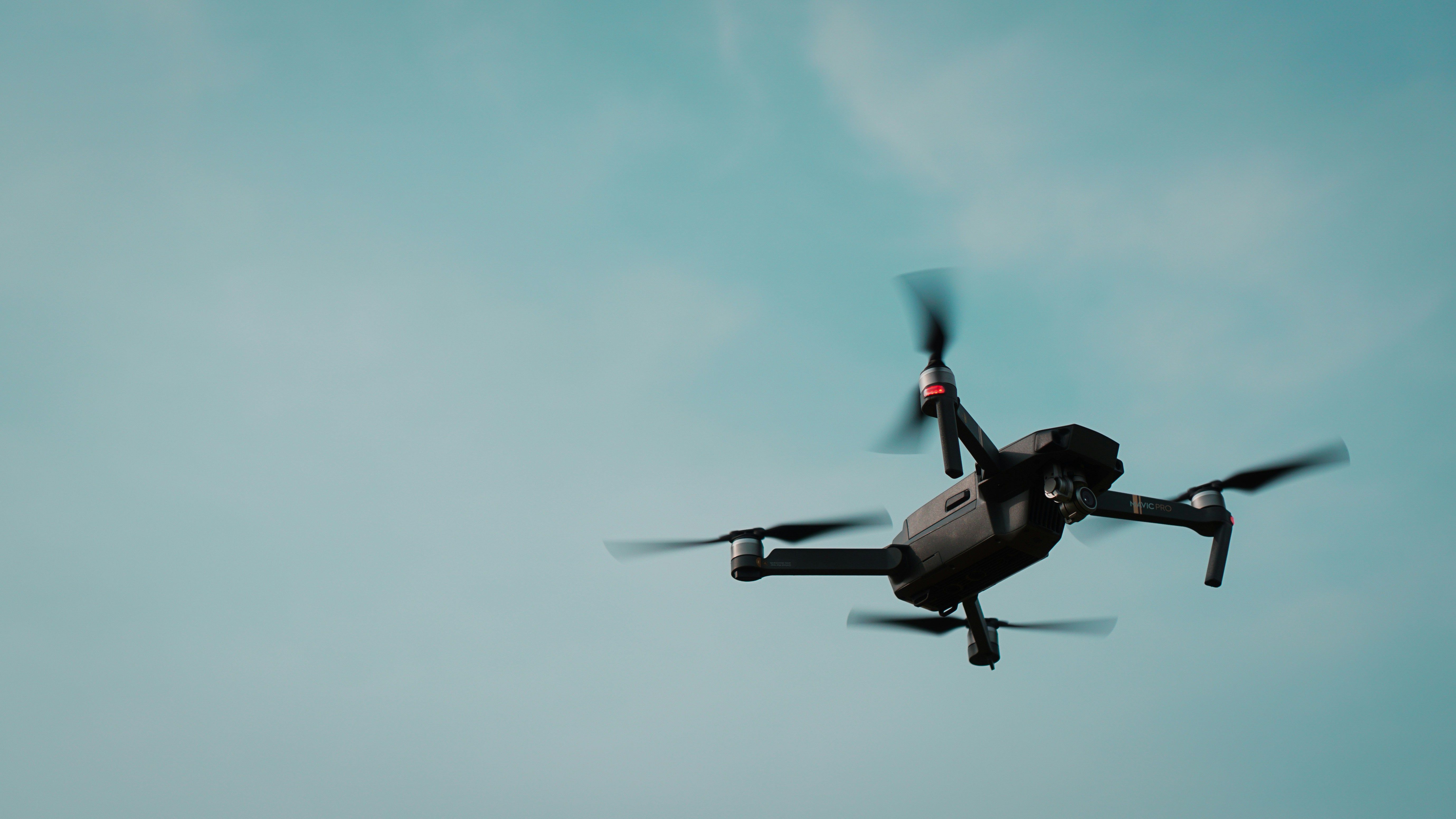
Using advanced RTK drone technology, we can capture detailed site information efficiently from the air, reducing the time required on site while maintaining a high level of accuracy.
The result is reliable topographic data that allows design and planning teams to move forward sooner.
What Is a Drone Topographic Survey?
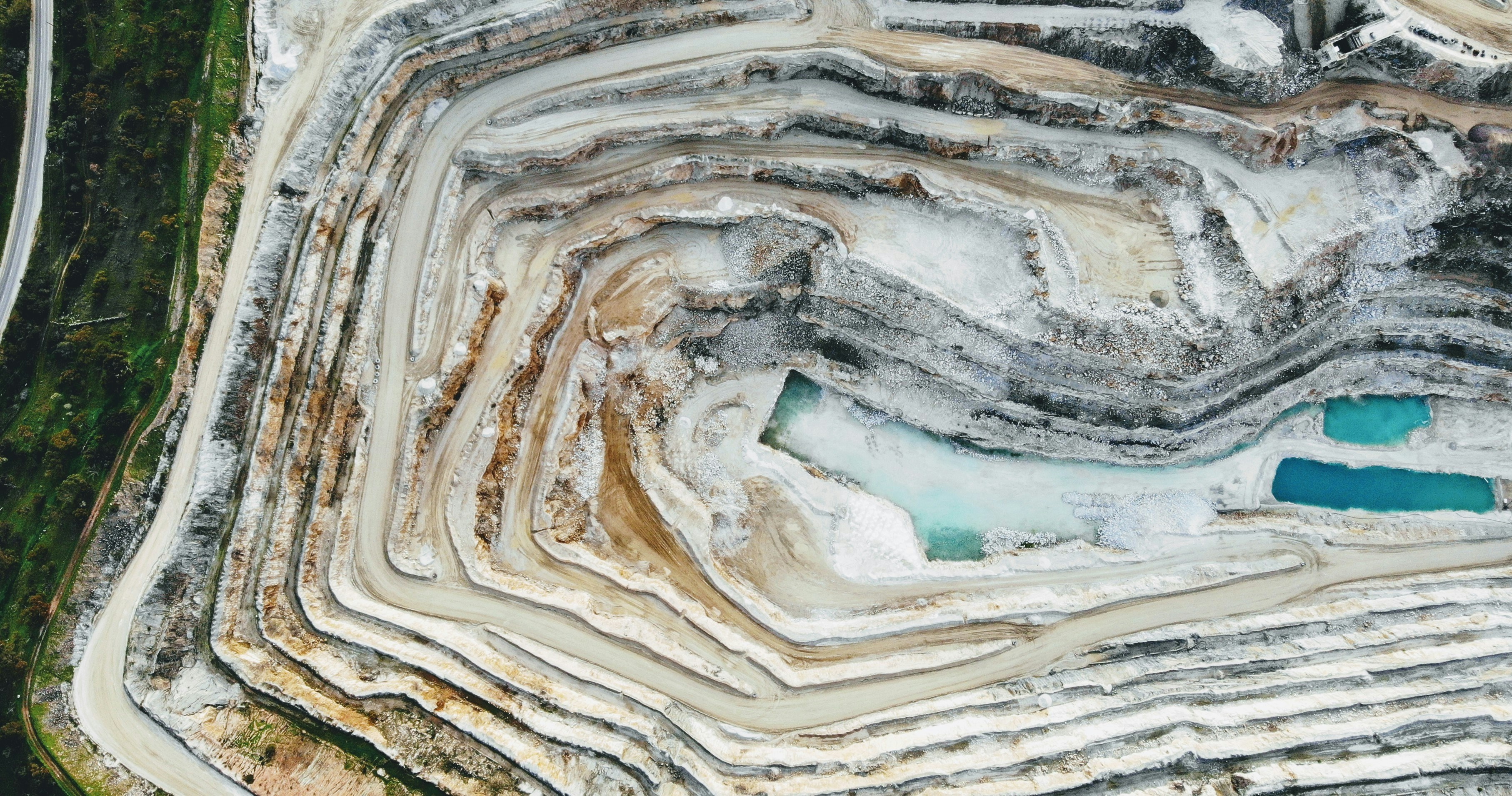
A drone topographic survey captures detailed information about the shape, levels, features, and existing conditions of a site.
Our drones collect high-resolution data across the survey area, which is then processed by our in-house team to create accurate, usable survey information.
The information can then be used to support planning, architectural design, engineering, development, and wider project delivery.
Depending on the requirements of the project, this can include:
- Site levels and contours
- Building positions and footprints
- Roads and access routes
- Boundaries and site features
- Hard and soft landscaping
- Existing structures
- Terrain and ground conditions
- Detailed aerial imagery
- Point cloud data
- Digital terrain and surface models
The advantage of drone surveying becomes particularly clear when working across larger sites.
Instead of manually surveying individual points across an extensive area, drones can capture large quantities of data during a single coordinated flight. This allows us to cover large areas quickly, reduce time spent on site, capture difficult-to-access locations and minimise disruption or unnecessary access requirements, while producing consistent data across the entire survey area.
Less time capturing data means your project can progress to the next stage sooner.
Accuracy matters.
Our RTK drone systems provide precise positioning throughout the survey, allowing us to capture detailed geospatial information across complex sites.
This technology combines aerial data capture with accurate positioning systems to produce reliable survey information suitable for professional project use.
But the technology is only part of the process.
Our survey data is reviewed and processed by an experienced in-house team, ensuring the information delivered is accurate, coordinated, and appropriate for the project.
Our process is designed to keep the survey simple and the project moving.
Project Review
We establish the site boundaries, required outputs, accuracy requirements, and intended use of the survey.
Drone Data Capture
Our team carries out the site survey using RTK drone technology to capture detailed aerial and topographic information.
Data Processing
The captured information is processed into accurate survey data, point clouds, models, and drawings as required.
Delivery
You receive coordinated information ready to support planning, design, development, or further technical work.
Capturing accurate information is only useful if the project team can work with it.
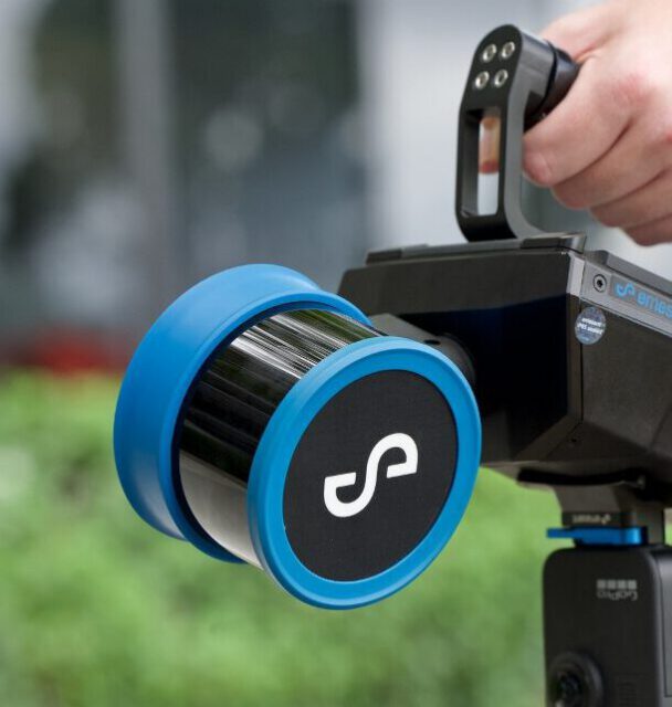
Bluelime combines advanced surveying technology with in-house architectural expertise.
This means we understand how survey information will ultimately be used by architects, designers, consultants, planning teams, and contractors.
The data we capture can feed directly into the wider design process, reducing the disconnect that often exists between survey and design.
Some sites are difficult to survey using traditional methods.
Steep terrain, roofs, restricted areas, large estates, busy operational environments, and inaccessible locations can all create additional challenges.
Drone surveying allows significant amounts of information to be captured remotely.
This can reduce the need for surveyors to access hazardous or difficult areas while still providing detailed information about the site.
The result is a safer and more efficient approach to data collection.
Where required, our topographic surveys can form part of a wider Bluelime service.
Because our surveying and architectural teams work together in-house, captured data can move directly into:
- Architectural drawings
- Planning applications
- Revit models
- 3D modelling
- Digital Twins
- Retrofit design
- Existing building documentation
- Development and feasibility work
There is no unnecessary handover between separate surveying and design companies.
That means fewer delays, clearer communication, and greater consistency throughout the project.
Start Your Project
Accurate site information creates the foundation for better planning, better design, and better project decisions.
Speak to our team about your site, required outputs, and project programme.
Call 01322 950 066
or fill in the form and we’ll get back to you.