
Survey Faster.
Reduce Disruption.
Keep Public Projects Moving.
We deliver high-accuracy surveying and design services for local authorities, schools, public buildings, and wider estate portfolios.
Using advanced drone technology, mobile laser scanning, and LiDAR, we capture detailed building data quickly and safely.
Everything is completed in-house.
That means fewer handovers, faster turnaround, and accurate information ready for planning, refurbishment, compliance, and delivery.
Schools, public buildings, and local authority estates come with their own challenges.
Sites are often occupied. Access can be restricted. Survey windows may be limited.
Projects may also involve multiple buildings, complex stakeholders, and strict programme requirements.
Our approach is designed around those realities.
By combining advanced surveying technology with in-house architectural expertise, we can capture detailed information efficiently while reducing disruption to staff, pupils, residents, and the public.
Supporting Local Authorities and Education Estates
We work across a wide range of public sector environments.
Whether the requirement involves a single building or a wider estate programme, our surveying process can be scaled around the project.
- Schools and academies
- Colleges and education campuses
- Council offices
- Community centres
- Libraries
- Civic buildings
- Leisure facilities
- Housing and mixed-use estates
- Public sector portfolios
- Multi-building sites
Faster Surveys With Less Disruption
Traditional surveying can involve repeated site visits, manual measurements, and significant access requirements.
That can be difficult in busy schools and operational public buildings.
Our technology-led approach allows us to capture large amounts of accurate information quickly.
Using mobile LiDAR scanning, drone technology, and advanced survey systems, we can reduce time on site while still producing detailed, reliable data.
This allows us to:
- Reduce disruption to occupied buildings
- Minimise repeat visits
- Survey larger areas efficiently
- Capture difficult-to-access locations
- Improve safety during data collection
- Keep programmes moving more quickly
Survey information should not become another delay in the project.
Our surveying and architectural teams work together in-house, allowing captured data to move directly into drawings, models, planning information and design work without unnecessary handovers between separate consultants.
Where required, we can support projects with everything from existing building, measured and topographic surveys through to point cloud data, Revit models, 3D modelling and Digital Twins. This can then feed directly into architectural drawings, refurbishment and retrofit design, planning support and wider estate-wide survey programmes.
The result is a more coordinated process from initial data capture through to project delivery.
Our process is designed to make complex public sector projects easier to manage.
Project Review
We establish the buildings involved, access requirements, required outputs, programme, and intended use of the survey information.
Data Capture
Our team surveys the site using the most appropriate combination of mobile scanning, LiDAR, drone technology, and traditional survey methods where required.
Processing
Captured information is processed into accurate point clouds, models, drawings, and structured datasets.
Design Integration
Where design support is required, our architectural team can work directly from the captured survey information.
Delivery
You receive coordinated information ready to support planning, refurbishment, compliance, procurement, or construction.
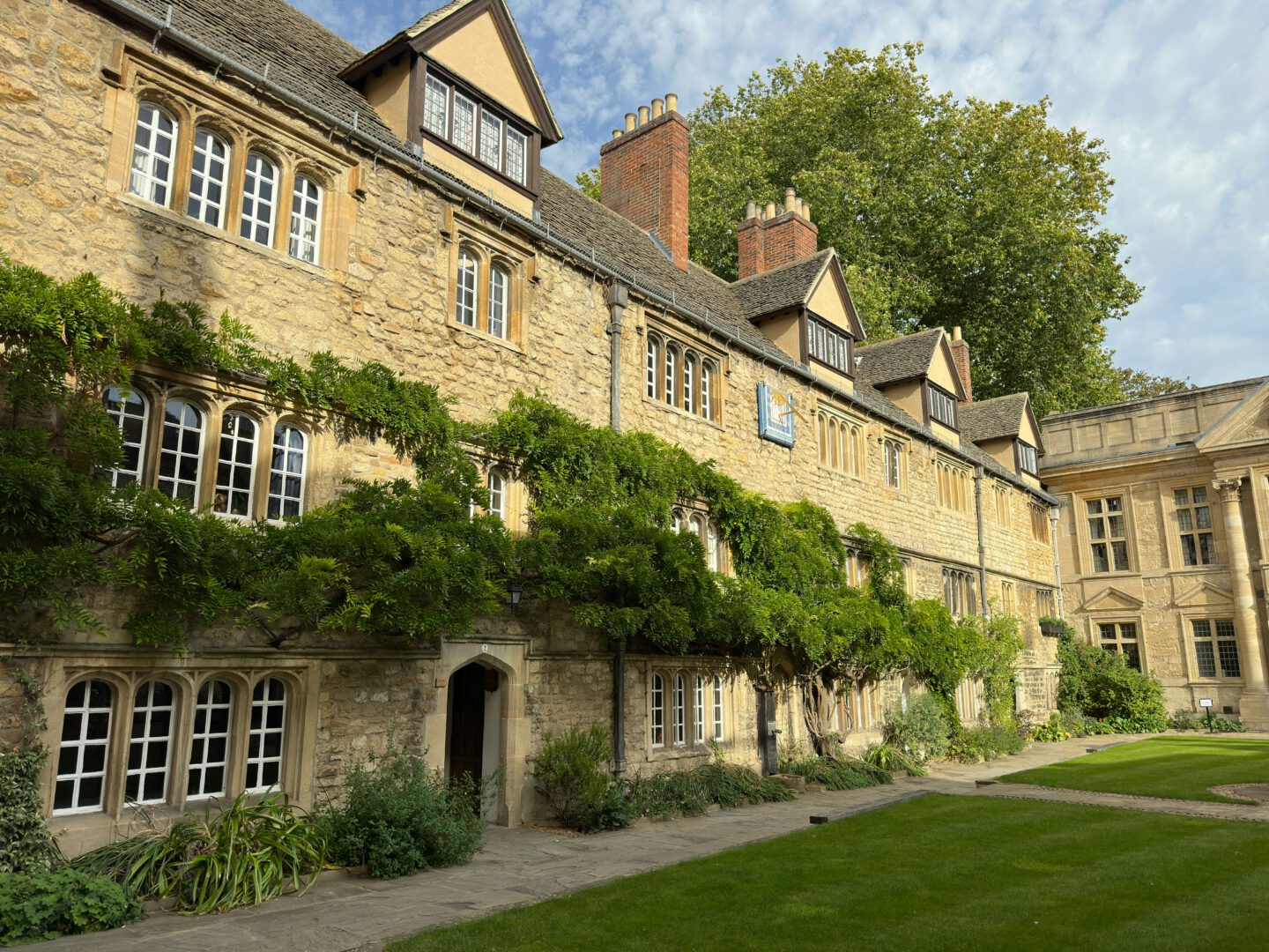
Managing multiple buildings creates additional complexity.
Different building types, different access requirements, different levels of available information, and often, different project priorities.
Our approach allows surveying to be standardised across larger estates and programmes.
Consistent data capture and in-house processing help create reliable information across multiple sites, making it easier for project teams to plan works, compare buildings, coordinate consultants, and manage future investment.
Public sector projects often depend on existing building information that is incomplete, inconsistent, or out of date.
That creates risk.
Accurate survey data gives project teams a clearer understanding of the existing environment before design work begins.
By providing reliable information from the outset, it can help reduce design assumptions, repeated surveys, coordination issues, unexpected site conditions and delays during later project stages.
Better information at the beginning supports better decisions throughout the project.
Supporting Refurbishment and Retrofit Projects
Many local authority and education projects involve existing buildings rather than new construction.
That makes accurate existing-condition information critical.
Because our architectural team works directly with the captured survey information, we can also support the transition from existing-condition survey through to design.
- Refurbishment programmes
- Energy efficiency upgrades
- Retrofit projects
- Building fabric improvements
- Window and roof replacement
- Internal reconfiguration
- Accessibility works
- Planned maintenance
- Estate improvement programmes
Public buildings can include roofs, plant areas, restricted zones, large external spaces, and difficult-to-access locations.
Drone and mobile scanning technology allows us to capture information from areas that may otherwise require additional access equipment or increased time on site.
This can reduce reliance on scaffolding, ladders, and repeated physical access while still providing detailed information for the project team.
Start Your Project
Accurate information is essential when managing public buildings and education estates.
Speak to our team about your buildings, programme, and required outputs.
Call 01322 950 066
or fill in the form and we’ll get back to you.