

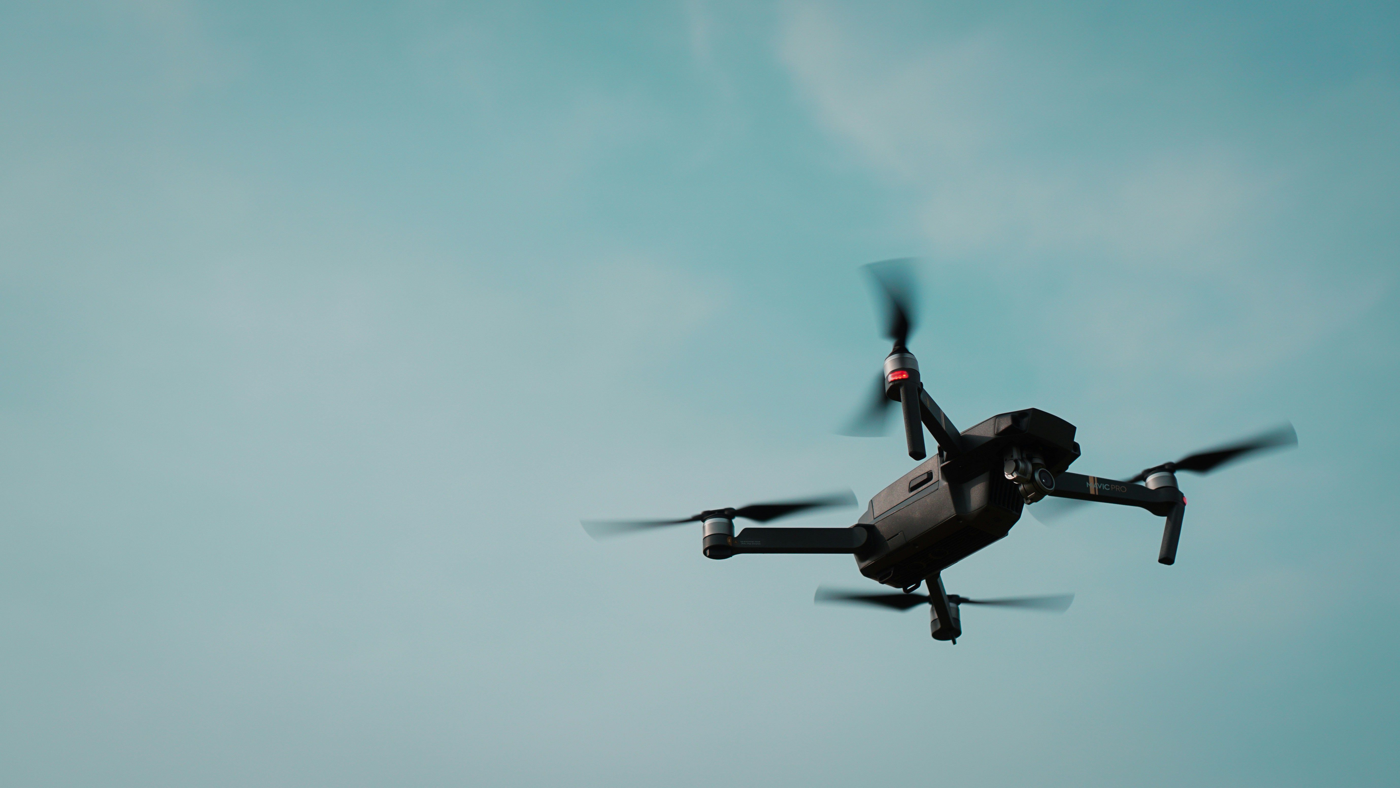
Drone and Mobile Surveys
High-accuracy building surveys delivered faster using advanced drone technology and mobile laser scanning. We capture detailed, reliable data across complex sites without the delays, access issues, or limitations of traditional methods.
Traditional surveying methods are slow, disruptive, and often dependent on access.
Our approach removes those constraints.
Using drones and mobile scanning technology, we capture large volumes of accurate data in a fraction of the time, often without the need to enter individual properties.
This allows projects to move forward sooner, with fewer delays and less disruption to occupants.
What We Deliver
We provide a complete range of survey outputs, ready for immediate use in design, planning, and analysis.
Every output is produced from high-quality, consistent data captured by our in-house team.
- Measured surveys
- Condition surveys
- Thermal surveys
- Roof and façade inspections
- As-built drawings
- Point cloud data
- Revit models and coordinated drawing packages
Our capability is built on industry-leading equipment designed for speed, safety, and precision.
- RTK drones provide accurate geospatial positioning for large-scale external surveys
- Mobile LiDAR scanners capture detailed internal and external data quickly and efficiently
- Hovermap systems allow us to survey complex or restricted environments with minimal disruption
- Thermal imaging identifies heat loss, moisture ingress, and insulation defects
This combination allows us to safely access hard-to-reach areas, reduce reliance on scaffolding, and deliver highly accurate datasets ready for immediate use.
Designed for Complex and Large-Scale Projects
Drone and mobile surveys are particularly effective across large portfolios and technically challenging environments.
Our approach allows for rapid data capture across entire sites, helping clients progress large programmes with confidence.
- Social housing programmes and retrofit works
- High-rise and high-risk buildings
- Education and public sector estates
- Healthcare and assisted living facilities
- Retail, hospitality, and leisure buildings
- Heritage and listed structures
One of the key advantages of drone and mobile surveying is the ability to minimise disruption.
In many cases, we do not require internal access to properties. This removes the need for scheduling with residents and eliminates a major source of delay in traditional surveys.
Surveys can be completed faster, with fewer site constraints and reduced health and safety risks.
Speed is only valuable when accuracy is maintained.
By capturing and processing all survey data in-house, we maintain full control over quality and consistency.
Our datasets are precise, reliable, and structured for direct use in design and planning workflows, reducing the need for rework and improving confidence at every stage of the project.
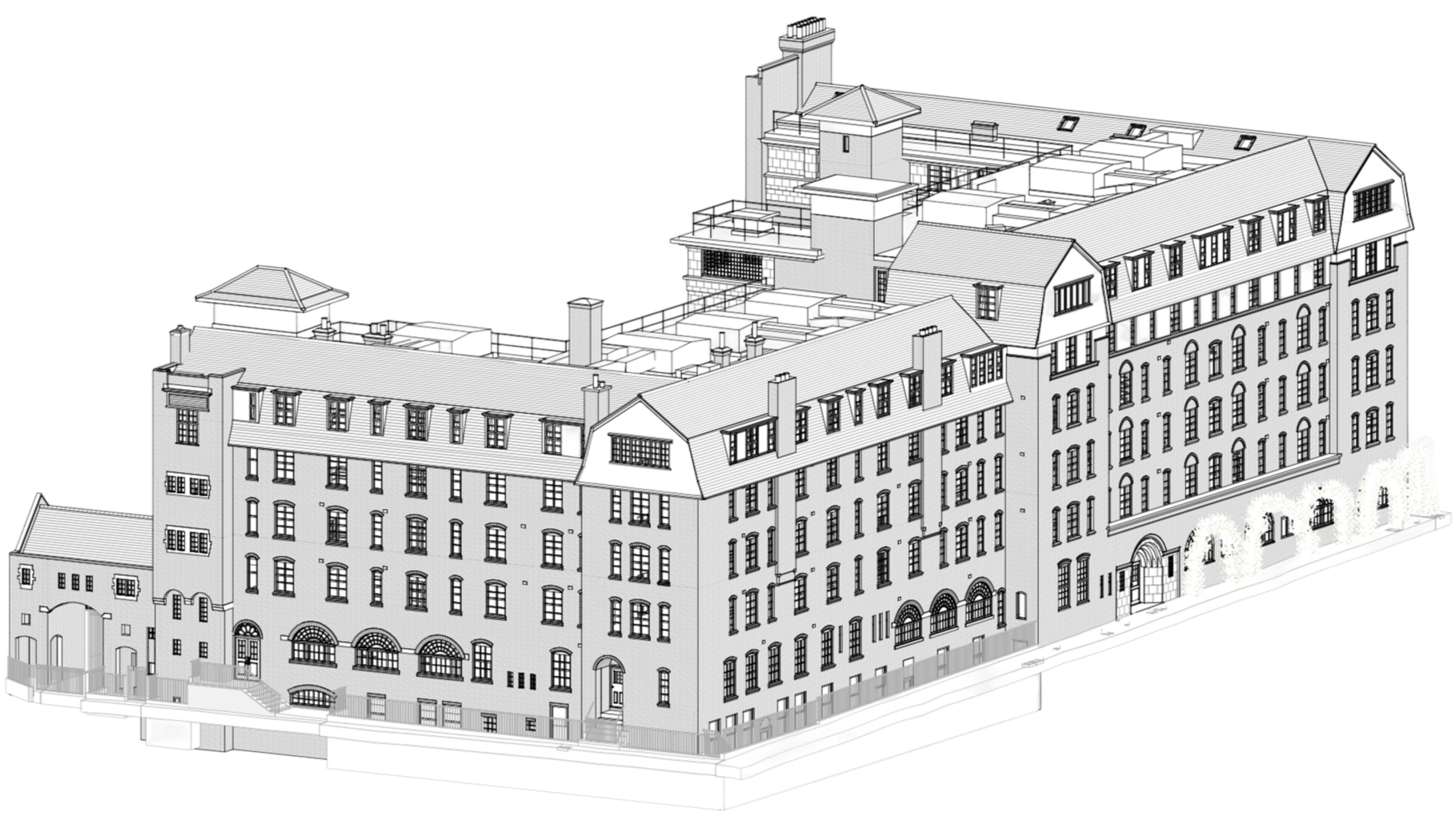
Because we are also architects, the data we collect is aligned with how it will be used.
Survey information moves directly into coordinated drawings, models, and planning-ready documentation without loss of detail or interpretation.
This integration reduces delays between survey and design and ensures that projects progress efficiently from the outset.
Start Your Survey
If you are planning a project that requires fast, accurate, and reliable survey data, we can help.
Early engagement allows us to plan survey delivery efficiently and support the wider programme from the beginning.
Call 01322 950 066
or fill in the form and we’ll get back to you.